Introduction to Adobe Illustrator Module 2
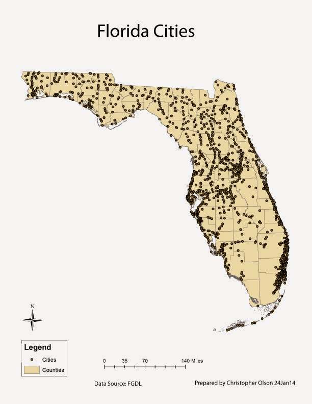
Here is a basic map I created with ArcGIS and Adobe Illustrator. This was my first experience with Illustrator. I quickly found that this program is very powerful and will take some time to learn. I would say master, but by the time that happens they will have moved to the next version. The user interface is simple to pickup as it is organized much like Arc from the brief exposure to it. This map was created from a map that was already created within Arc minus the labeling. I exported this map from Arc as a .ai and imported that file in Illustrator. Once in Illustrator I organized the different layers and groups so that the data in the file could easily be manipulated. It was important that the scale bar and the county groups were within the same layer; If they were not in the same layer the scale bar would not be adjusted to the counties when the map is resized. The final step was to add text to the map. I added the title, name, date, and data source via the text tool. Once I was happy with the map I exported it as a jpeg to be shared.
No comments:
Post a Comment